Construction
How Engineers Use FPV Drones in Construction
Discover how civil and structural engineers use FPV drones for high-precision site inspections, safety audits, and real-time data collection in the Goa construction sector.
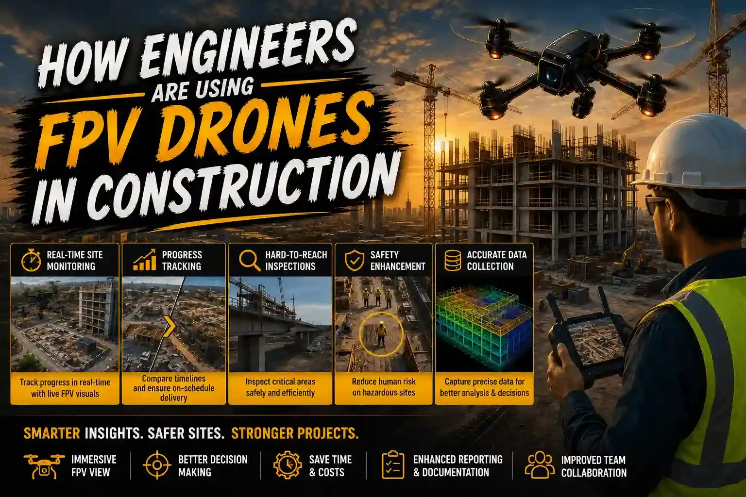
Engineering is the science of precision. In the Goa construction industry, the margin for error is razor-thin, especially in luxury high-rises and complex bridge projects. While standard aerial photography offers a general overview, FPV (First Person View) drones provide engineers with a high-fidelity tool for detailed structural analysis and real-time problem-solving.
1. High-Precision Structural Health Monitoring (SHM)
Civil and structural engineers are using FPV drones to perform what was once a dangerous manual task: Visual Integrity Audits. Standard drones use obstacle avoidance sensors that prevent them from getting close to a structure. FPV drones, however, are flown in full manual mode.
- Weld and Joint Inspection: We can fly within 10-15cm of critical joints on steel structures to identify corrosion or cracks.
- Underside Inspections: FPV pilots can bank the drone to look upwards—essential for inspecting the underside of bridge decks or slab formwork.
- Thermal Integration: By mounting specialized sensors, engineers can detect heat leaks or moisture ingress in high-end villa facades.
2. Enhancing Site Safety Audits
Safety is the top priority for any project engineer in Goa. FPV drones act as the "eyes in the sky" that can enter hazardous zones before a human worker does.
For example, after a monsoon storm, an engineer can deploy a cinewhoop-style FPV drone to check for unstable scaffolding or debris at high altitudes. This Risk Mitigation strategy ensures that site supervisors can verify safety protocols without exposing themselves or their crew to potential falls or structural collapses.
3. Data Integrity in GPS-Denied Environments
One of the biggest technical hurdles for traditional drones is flying inside a building. GPS signals are lost, causing standard drones to drift and crash.
Engineers utilize FPV drones because they do not rely on GPS for stability. A skilled pilot can navigate through a narrow hallway, between concrete pillars, and over active heavy machinery with absolute control. This allows for the collection of stable 4K engineering data from the interior of a project, providing a complete 360-degree understanding of the site's status.
4. Integrating FPV with Engineering Workflows (BIM)
The ultimate engineering use case for FPV is Building Information Modeling (BIM) verification. Engineers compare the high-bitrate FPV walkthroughs with their digital 3D models to ensure that the physical construction aligns perfectly with the design intent. Any deviations in slab thickness, pillar placement, or MEP (Mechanical, Electrical, and Plumbing) routing can be caught instantly, preventing costly rework during the finishing stages.
Engineering Efficiency: FPV vs. Standard Checks
For engineering firms looking to modernize their Technical Site Audits, here is how the technology stacks up:
| Audit Parameter | Traditional Manual Check | FPV Drone Audit |
|---|---|---|
| Time Taken | 6-8 Hours (Scaffolding) | 20-30 Minutes |
| Safety Risk | High (Working at Height) | Zero (Remote Operation) |
| Data Bitrate | Visual Only (Human) | 4K 60FPS Digital Record |
| GPS Requirement | N/A | Not Required (Manual) |
Frequently asked questions
- Why do engineers prefer FPV drones over standard GPS drones?
- Engineers prefer FPV drones for their ability to fly in GPS-denied environments (indoors or under bridges) and their high-speed precision when navigating tight structural gaps.
- Can FPV drone footage be used for structural health monitoring?
- Yes. The 4K high-bitrate footage allows engineers to zoom into cracks, welds, and joints to perform detailed visual assessments without scaffolding.
Related service: construction monitoring